Getting Around the City with Public Transit
I’ll start by stating that I felt confident using either Transit or Moovit. Navigating through the San Francisco Bay Area. Both apps have their limitations.
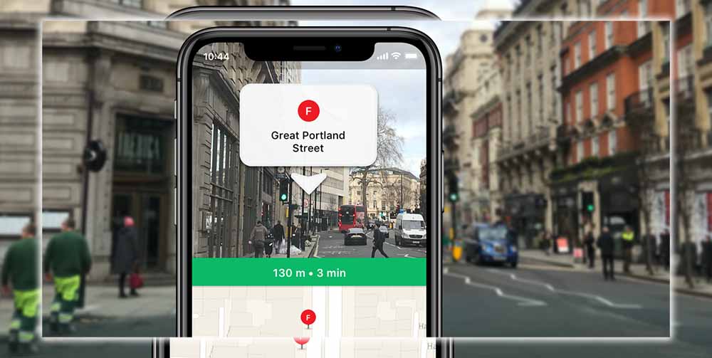
Transit and Moovit both utilize different methods for pointing you to nearby transit. Moovit displays a map with icons indicating transit stops. You then tap each stop to see which bus lines pick up there. And when the next one is due to arrive. There are markers for city bike share, and let you know how many bikes are left.

Transit’s interface is a bit more helpful, especially if you’re in a bind. Once you fire up the app, it immediately pinpoints where you are and where the nearest bus lines are. The further down you scroll, the more lines and methods of public transportation you’ll see. There’s even a handy link to call an Uber if you’re unsure how to get where you’re going. You can swipe to the left on each individual line. To change directions or tap to see the expanded schedule and the individual stops. You can also easily favorite each of the lines you use the most in Transit by tapping the star icons. (safeanimalshelter/) This is still a bit of a chore in Moovit, though you can bookmark your favorite lines.

Which is For You?
I am impressed with Transit’s radius. And didn’t have to put in an end address to see where I was going. I could tap on any line to see its route beyond my destination. However, the app seemed geared towards people who know their area and need to find the nearest bus stop.
Conversely, Moovit is geared toward those new to a city who have no idea how to get around. It offers downloadable maps and frequently updated service alerts. And if you do find a better route than what Moovit offers, you can suggest it to the developers. I will say that despite their differences. Both Moovit and Transit are good at letting you know the number of stops you have to go to. And where you should get off. Transit does so with a detailed listing of each stop. While Moovit offers a notification to inform you when you should get off.
Out in the Suburbs
I believe that the best way to test out the Maps application is to take it out to the suburbs. Where public transit isn’t a primary form of transportation. Maps have always been extensive about helping me find my way around all the little houses. Even if it resulted in three bus transfers and a mile of walking.
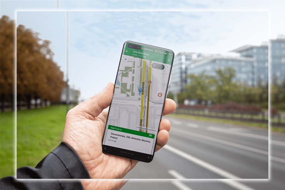
Unfortunately, both Moovit and Transit let me down. Neither app carried the local transit authority’s schedule for my area. However, Moovit at least offered me an alternative route home from a nearby suburb. Although it required me to walk across a bridge.
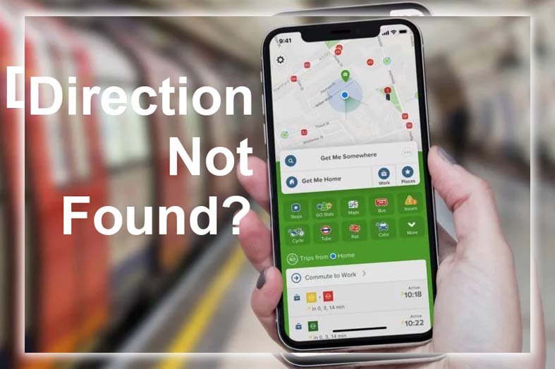
Transit stated that no directions were found from my house to work. Although peculiarly, it offered me the same suggestions across the bridge on the way home from the city. If I were new to the area and didn’t have a car to drive, I would have been screwed.
Navigation Walking Directions
Here’s my biggest gripe about Maps. Suppose, I’m required to walk someplace after emerging from an underground subway. As is typically the case in places like New York City. In that case, I must pull over and re-adjust Maps to switch to walking navigation mode. I tend to get the directions wrong and walk the wrong way if I don’t. Did I mention that I’m terrible at navigating my way around?
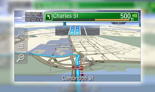
I tested Moovit and Transit’s navigation features on my morning commute. Since I walk about 15 minutes from my office to the train station. Moovit’s navigation feature was more like Maps; the map rotated to let me know which direction I was headed. Transit, on the other hand, merely offered a directional line to guide me from point A to point B. Needless to say, I preferred Moovit’s full-fledged navigation features.
Just Map It
I can’t ignore that Transit nor Moovit did not factor in my county’s transit authority. Even if Moovit was a bit smarter about getting me across that bridge. I imagine both applications would miss out on these things in other cities. What if you’re heading out to the suburbs in a European country, for instance? Wouldn’t you want to know how to take the train to see a long-lost relative?
If you live in a central metropolitan area like New York City or San Francisco, both Transit Moovit is handy. Moovit is excellent for when you’re just trying to figure out how to get your way around a new town. Transit is a worthy app to see when the next bus is scheduled. But if you’re temporarily visiting a new place. And need to figure out how to take the bus to your next meeting, stick with Maps. You may have to pull over to check on things from time to time. Still, it has been the most reliable and thorough in offering transit directions.
And Finally
Transit tweeted it updated its app. So that I no longer have to walk across a bridge to get home. Of course, that doesn’t mean it has added every little county in the country. But if you have a request. You can always reach out to the developers of your third-party app.


